Snow
During our 25th Anniversary celebrations, we thought we should celebrate the weird and wonderful world that is the weather by going through some of our favourite weather phenomena. In this sub-series of articles, we will be going into the details of how they are produced and provide some examples.
As a nice start to the series, we will be looking at quite a few peoples’ favourite, snow!
What is it?
Snow is one of most transformative weather conditions we have in the UK, making the environment look completely different when it settles. Depending on where it falls, and how much, it can cause disruption for many.
Snow is the collective term for small ice crystals that stick together, and is formed when moisture in the atmosphere (usually within clouds) freezes during air temperatures of below 2 °C. Once frozen and of a critical mass, the snow begins to fall, normally between 1-4mph, depending on flake density and wind strength [1]. In meteorology we use three different terms to describe snowfall: slight, moderate and heavy – all of which are measured by the visibility during their snowfall, at >1 km, between 0.5 – 1 km, and <0.5 km respectively [2].
The size of the crystals/flakes is proportional to the temperature of the air in which it falls, with warmer air forming larger flakes due to them melting and sticking together more easily. These larger flakes settle and clump together more easily on the ground and are therefore much greater for creating snowmen and snowballs. This is known meteorologically as wet snow. Dry snow occurs when the air temperature is much colder and drier, forming smaller flakes. These flakes are less likely to clump together and so form a dustier snow cover that can be blown in the wind. This form of snow is favoured for winter sports such as skiing [1].
How often and how much?
The annual occurrence of snowy weather changes depending on the location within the UK. Often areas further north and of higher ground tend to see more snow throughout the year (Scottish Highlands), with the opposite occurring for the South and lower lying areas. On average however, the UK sees ~13 days of lying snow in a single year [1].
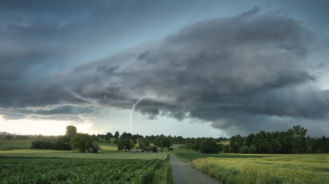
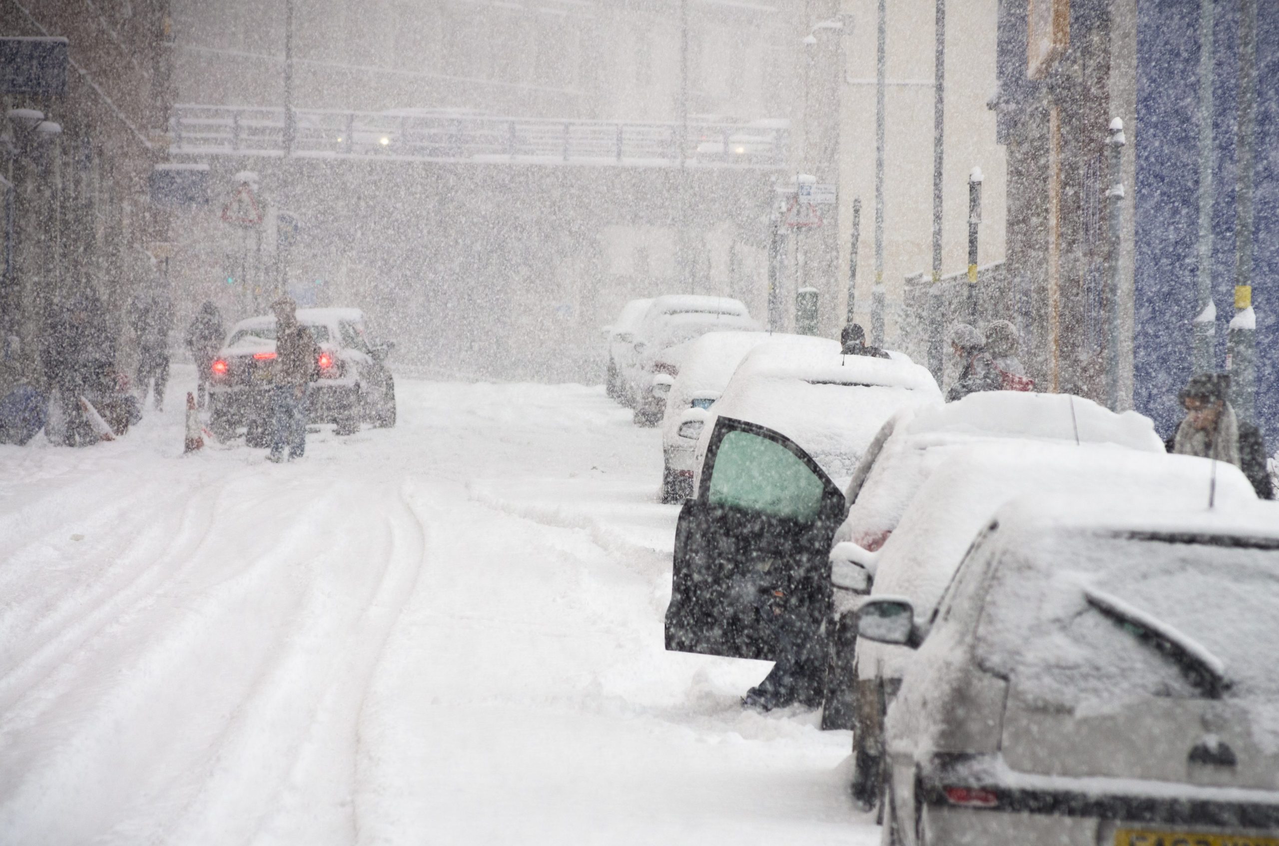
The most recent event with widespread snow was that of storm Goretti, which brought major snowfall across parts of northern England, Wales and the Midlands. Values ranged from 8cm at Nottingham, up to unofficial reports of >20cm over high ground, and it caused major disruption for isolated villages in the Peak District. Another still in the minds of many would be the Beast from the East, a short spell of cold weather from a high pressure system that brought the cold and snowy conditions from the European continent over the UK back in February 2018. The maximum snowfall recorded from this event was >50 cm.
Snow mainly occurs during the winter and early spring, where air temperatures normally reach the required conditions. In fact, it is more likely to snow on Easter than Christmas, due to the UK’s atmospheric conditions at each time of year. Despite this, it can even snow in Summer! On June the 2nd, 1975, there was a large amount of snowfall over the Peak District, causing the stoppage of multiple county cricket matches [1]!
Snow depth website
When snow does fall in the UK, we like to see how much has fallen over certain areas. In order to make this possible, we have a website that allows the public to help by measuring snow depth at home and submitting reports to our community snow depth map: https://weatherquest.co.uk/snowdepth/map
If you would like to read some more about snow, head over to the references below:
[1] Met Office (2026). Snow. Available at: https://weather.metoffice.gov.uk/learn-about/weather/types-of-weather/snow (accessed: 12/05/2026)
[2] American Meteorological Society (2026). Glossary of Meteorology: Snow. Available at: https://glossary.ametsoc.org/wiki/snow/ (accessed: 12/05/2026)
Keep your eyes peeled for some more exploratory posts of some of our favourite weather phenomena coming up!