UEA Meteorology Field Course

News / UEA Meteorology Field Course

UEA students head off to the Lake District!

WeatherQuest has always had very strong links to the University of East Anglia and the School of Environmental Sciences (Env). Not only are we located on campus, many of our past and present employees are Env graduates and some are current members of the faculty, a lecturer and researcher. One such faculty member is our very own Chris Bell (CCO), who leads a module in Applied Meteorology for second year students. As part of the module, every year in mid-Spring Chris and the enrolled students embark on a week-long field course to the Lake District, with the main focus being the micro- and macro-meteorology of the area and Cumbria respectively.

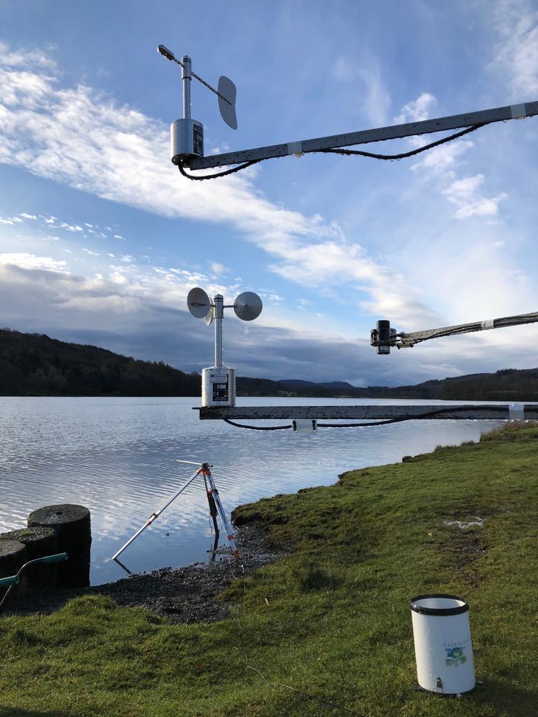
At the beginning of the week, the students record what the computer forecasts are for the synoptic situation over Cumbria for the week, taking note of any changes and the general weather for each day (max and min temps and wind speeds etc). They then erect a weather mast in a location carefully chosen for its interesting micro-meteorology (e.g. downwind of a hill). This mast has an array of meteorological equipment attached, including solarimeters, wind vanes, anemometers and thermometers, with their measurements all being logged and recorded.

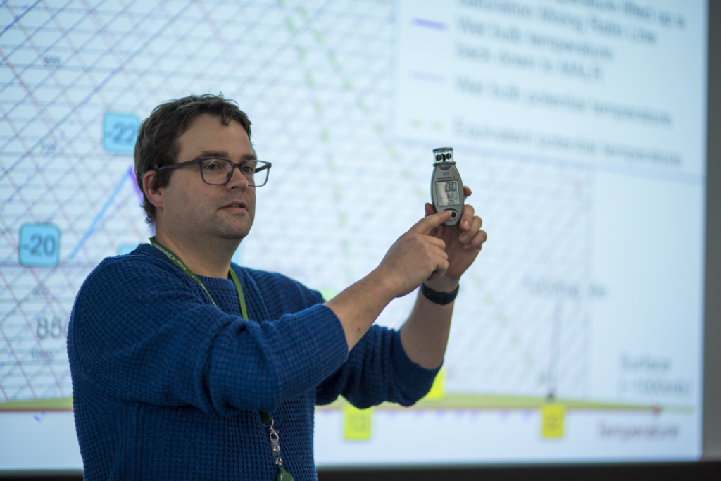
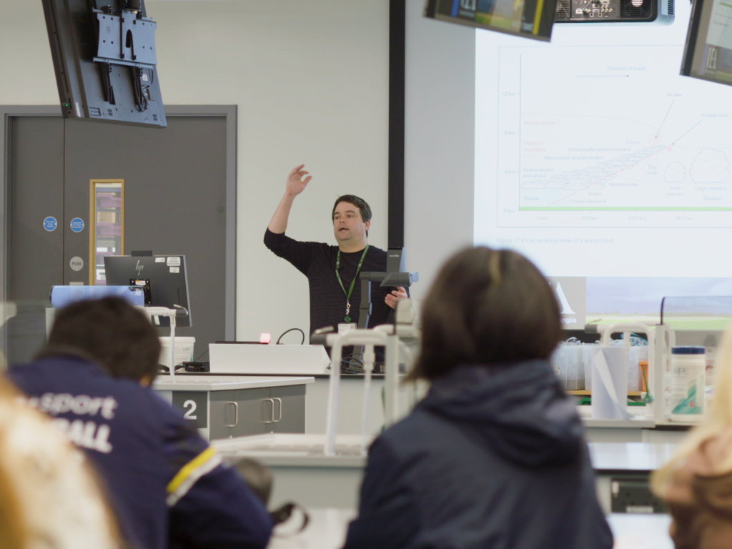
Throughout the rest of the week the students complete different meteorological activities, ranging from manual weather data collection (using hygrometers and anemometers), cloud observation exercises, launching a weather balloon, drone flying and met office station or other site visits. This year, it is planned that the site visit will be a walking tour of Keswick with the Environment Agency, talking about flooding and its impacts in the area. As the lake district is one of the wettest areas in the UK, flooding is a major issue in the national park and those who live in it. At the end of each day, the students then take part in a weather briefing, whereby they look at the current synoptic situation, forecast models and any weather warnings to create a presentation that they present to the rest of the cohort.

At the end of the week, the students collate the synoptic data from the week along with their logged weather mast micro-meteorology data in preparation for their assessments following the trip. Then on the final evening before heading home the next day, they take a well needed trip to the local pub, rounding the whole week off.

When home, the students then spend time completing their assessment. The first part involves comparing how well the forecasts at the beginning of the week matched the synoptic change experienced. They can then use this information to help with the second part, exploring how the micro-meteorology changed throughout the same period. They do this by completing complex calculations from the weather mast measurements, finding variables such as turbulence, sensible and latent heat flux and net radiation. They then relate this micro-meteorology to the synoptic changes (e.g. a cold front pushed through the lake district, causing the temperatures to drop along with a reduction in solar radiation).

Not only is this trip incredibly fun and informative for the students, but it also does help prepare them for a job in the world of occupational meteorology, which is very beneficial. Chris is looking forward to this year’s trip, with his fingers crossed for some interesting weather to occur!

To find out more about our Research and Development service

Vineyard Frost Protection Project

News / Vineyard Frost Protection Project

Some exciting news on the Frost Protection side of Agriculture!

We are taking part in an innovative frost forecasting and management project which has secured over £300,000 in funding from both Innovate UK and the Department of Food and Rural Affairs (Defra).

Working alongside TerraPrima, Agri-Epi Centre, Plumpton College, Vinescapes, Vinewatch and WineGB, the project is called ‘Smarter Forecasting, Communication and Management of Frost Risk in Vineyards’. The project will aid the rapidly growing sector of domestic viticulture in the UK and their resistance to frosts. By creating accurate, real-time, hyper-localised, site-specific, and variety-specific frost risk forecasts, it will enable vineyards managers to make more confident, informed and targeted decisions when it comes to frost mitigation, with the added benefit of sustainability in mind.

Sensors installed across a broad range of Vineyards in West and East Sussex, Surrey and Oxfordshire will be used to evaluate frost risk at an incredibly fine level. By utilising these on-site sensors and combining them with ever improving forecast models and site-specific mapped frost risk assessments, the project will launch fine resolution forecasts of both frost risk and frost type, which will ultimately be available through an app.

Due to the changing climate, Spring is undergoing some rapid changes, most notably its start date. With an earlier start to the warmer weather, it kickstarts the budburst on the vines – the time when vines are most at risk to frost damage. Unfortunately, even with this shift, temperatures can swing back to form sharp frosts which cause widespread damage. The number and severity of these frosts changes year to year, but the threat to UK vineyards remains the same.

With the help of this project, vine growers will be able to protect their crop in a more focused approach, understanding which mitigation method best prevents damage for the frost forecast conditions, reducing the stress of the frost season, and helping them make changes to better the environment. We are incredibly excited to be taking part!

Photo Credits:
Ridgeview Wine Estate / @juliaclaxton
Terraprima Group

To find out more about our Research and Development service

Agriculture Day at Norwich Science Festival!

News / Agriculture Day at Norwich Science Festival!

Norwich Science Week – Food and Farming!

On Sunday 18th Feb, the Norwich Science Festival held its day for all things agriculture, aiming to show all those who visited “the journey food takes, from fields, to farms all the way to the end of our forks”! Agriculture is one of the main sectors we supply a service for, so it was a pleasure to be invited to take part on this day.

We got the chance to show off some of our favourite weather instruments, including the anemometer (the fastest wind speed created by a visitor blowing into the anemometer was 74 mph – the equivalent of a storm!), whirling hygrometers (what we use to measure humidity) and the rather topical rain gauges (over the weekend, some parts of Norfolk saw more than 30mm of rain, leading to local flooding).

On top of this we had a display weather balloon (which in operation can reach heights of ~25 km –with the balloon reaching the size of a small car), three example radiosondes that would be attached to the balloon (normally measuring humidity and temperature, also containing a GPS for wind speed and direction) and a video of a balloon release. This generated a lot of conversation about how we use the data from weather balloon radiosondes, the five stations across the British Isles that release them and the worldwide balloon network.

This then allowed us to go into greater detail about how forecasts work, by measuring the current weather data, then inputting this to weather patterns and computer models to help determine what the weather will be, an hour, a day or even a week into the future.

Finally, we showed a couple of maps relating to our agricultural research, including the locations of vineyards across the UK, sparking conversation on how climate change will cause the suitable grape-growing areas to shift, causing more British vineyards to pop up in the future!

Overall, we at WeatherQuest had a fantastic time talking to all the visitors, letting them know a bit about forecasting and the role we play in the agricultural field (pun intended), so thank you for coming along and saying hi if you did! We also thank the Norwich Science Festival for inviting us and hope to return next year for more!